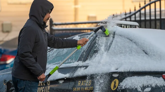
New Jersey is preparing to close out 2025 with a distinctly wintry feel as colder air settles across the region and sets the tone for what forecasters are calling a more active and potentially snowier pattern as January unfolds. While the final hours of the year will remain manageable for travel and celebrations, residents should be ready for biting overnight temperatures and the occasional flurry as the calendar turns.
Overnight temperatures heading into New Year’s Eve are expected to fall into the low to mid-20s across much of the state, with winds gradually easing from gusty to breezy out of the west and northwest. Portions of northwestern New Jersey could see a few lake-effect flurries, while southern areas remain largely dry.
Daytime conditions on New Year’s Eve should stay on the calmer side for late-December standards, with afternoon temperatures ranging from near 30 degrees in the north to the mid-30s farther south. Breezes will persist, but road conditions are expected to remain generally favorable for travel. As night falls and celebrations continue, temperatures will dip back into the 20s and lower 30s, and a few scattered flurries or brief snow showers could develop.
New Year’s Day is expected to begin with lingering flurries and light snow showers before gradually tapering off through the afternoon and early evening. Winds will remain light to moderate from the west and northwest, reinforcing a colder air mass. By Thursday night into Friday morning, another push of Arctic air is forecast to send overnight lows plunging into the teens across much of the state, with some inland locations potentially slipping closer to 10 degrees.
Snowfall amounts from the late New Year’s Eve through New Year’s Day period are expected to remain limited. A weak weather disturbance passing just north of the state may bring intermittent flurries or snow showers, but widespread accumulation is unlikely. Elevated areas in the far north could see light coatings, while most other communities will likely see little more than passing flakes.
The bigger story lies beyond the holiday itself. Meteorologists are tracking signals that point toward a more energetic winter pattern developing in early January, with below-average temperatures and an increased chance for snowfall across New Jersey. While details remain in flux, this setup raises the possibility of more frequent wintry systems moving through the region as the first full weeks of 2026 unfold.
Residents looking to stay ahead of changing conditions, travel advisories, and winter preparedness tips can follow the latest New Jersey weather report updates as the state transitions into what may become a colder and snowier chapter of the season.
As the final days of 2025 wrap up, the Garden State can expect a crisp, wintry send-off and an early reminder that winter’s influence is only beginning to strengthen.


