New Jersey is approaching a noticeable shift in its winter pattern after more than a month of persistent cold, frequent snow events, and a steady parade of flurries and squalls. Since the Thanksgiving holiday weekend, the Garden State has remained locked in a colder-than-normal regime that delivered both below-average temperatures and above-average snowfall across much of the state.
December closed out between five and seven degrees colder than long-term averages, while snowfall totals in many communities exceeded seasonal norms by several inches. Only a handful of days broke above-average temperatures, and even those brief warm-ups were short-lived, quickly replaced by renewed cold following gusty frontal passages. The pattern produced a steady mix of wintry weather, including a significant mid-December snowstorm, an ice event, multiple clippers, lake-effect flurries, and recurring snow squalls that have kept road crews and residents on alert well into the new year.
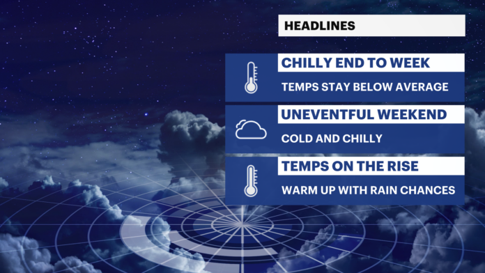
That familiar winter routine is expected to hold through the start of the weekend. Northwesterly winds will maintain a cold flow, and scattered flurries or snow showers may appear at almost any time, though most locations should see little or no accumulation. A slightly more organized band of snow showers may pass late Saturday night into Sunday morning, potentially leaving a light coating to around an inch in spots. Even then, the system is expected to remain modest, with the broader, more powerful storm energy tracking well to the south.
By Monday, cold air will linger, and the long stretch of winter dominance will finally begin to loosen its grip. Starting Tuesday, January 6, the state is projected to enter a classic January thaw — a temporary midwinter warm-up driven by a shift in the large-scale weather pattern across North America. High pressure offshore will encourage southerly winds to carry milder air northward, lifting daytime highs into the 40s and 50s across most of New Jersey. Overnight lows will also climb into the 30s and 40s.
There is potential for a brief spike later in the week, when temperatures could surge well above seasonal norms, particularly in central and southern sections of the state. Those warmer days are expected to be accompanied by periods of rain as frontal systems pass through, replacing snow with wet weather for most communities. While the highest elevations in northwestern New Jersey may still flirt with mixed precipitation at times, the majority of the state is likely to remain on the mild side of the storm track.
The thaw is projected to last into the following weekend, ending with a stronger cold front that may bring gusty winds and additional rainfall before ushering colder air back into the region. Looking beyond that, long-range indicators suggest a return to a more traditionally wintry pattern, reopening the door to renewed snow potential as the second half of January — historically the coldest and snowiest stretch of the season — approaches.
For now, residents can expect a brief pause in the relentless cold that has defined the start of winter, followed by a familiar return to seasonal conditions. Ongoing updates and detailed forecasts will continue through the state’s dedicated weather report coverage, as meteorologists monitor the next phase of New Jersey’s evolving winter season.


