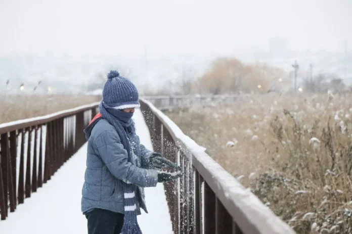
New Jersey is stepping into a week that may feel more like the heart of January than the calm stretch typically associated with the holiday season. A shifting boundary across the Northeast is setting the stage for multiple rounds of unsettled weather, bringing the potential for snow, ice, and abrupt temperature swings that could complicate travel and daily routines across the state.
The first system arrives overnight into Tuesday, sliding through southern Canada and the eastern Great Lakes before tracking across the Mid-Atlantic. Its movement is tied to a strengthening warm front that will creep northward through New Jersey in the early morning hours. Ahead of that front, colder air near the surface will allow precipitation to begin in wintry form for many northern and central communities before temperatures gradually climb.
Residents in North Jersey and portions of Central Jersey should be prepared for a light accumulation of snow late tonight through early Tuesday morning, particularly in higher elevations and areas north of the I-78 corridor. The window for meaningful snowfall will be narrow, largely confined to the hours before sunrise, when temperatures are most favorable. As the morning progresses, warmer air pushing in from the southwest will cause a transition, potentially changing snow to an icy mix and eventually rain in some locations. South Jersey is expected to remain largely milder, with precipitation more likely falling as rain and, in some areas, possibly missing the bulk of the system altogether.
The orientation of the atmospheric boundary running northwest to southeast introduces notable variability. Coastal and northeastern sections of the state may remain colder longer than typically expected, while inland southwestern areas could warm more quickly. This setup means that even small changes in temperature could dramatically affect whether precipitation falls as snow, sleet, freezing rain, or plain rain. While accumulations from this first system are not forecast to be heavy, even light icing or a thin coating of snow could create slick roadways during the morning commute.
Once this system exits, the state is expected to enjoy a brief reprieve. Milder air will move in for Christmas Eve and part of Christmas Day, offering more favorable conditions for travel and outdoor activities. However, that calm may be short-lived. By late Christmas night into early Friday, a cold front is projected to swing back through the region, pulling colder air southward once again.
Attention is increasingly turning to a second, more consequential weather maker expected to develop late Friday into Saturday. Early model guidance points to a similar atmospheric configuration, but with colder air more firmly entrenched across the region. In this scenario, much of New Jersey could remain on the colder side of the boundary, raising the possibility of a more widespread winter event. Current projections suggest that snow or ice could affect large portions of the state, with southwestern areas closer to the boundary being somewhat less likely to see significant accumulation, while northern and central sections may face a higher probability of impactful conditions.
Forecast models are still refining the details, but the emerging pattern suggests that this late-week system could carry more moisture and produce more substantial wintry precipitation than the early-week clipper. If the colder solutions hold, travel disruptions and accumulating snow become a more realistic concern heading into the weekend.
For ongoing updates, localized outlooks, and evolving forecasts throughout the week, readers can follow the latest reports in the Weather Report section, where coverage will continue to track both short-term changes and longer-range winter signals.
In practical terms, residents should be prepared for rapidly changing conditions. North and central parts of the state are most likely to see snow overnight into Tuesday, while southern areas may contend mainly with rain or minimal precipitation. After a brief mild interlude, colder air is poised to return, and with it, the possibility of a more notable winter storm to close out the week. Staying informed and allowing extra time for travel will be prudent as New Jersey navigates a week that could deliver a true taste of winter.


